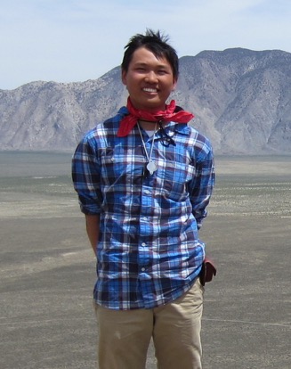
Winson Li


1st Class Honours, ERTH & OCEA
B.Sc. (Honours) Thesis
(PDF - 13.9 Mb)
Mixed sand and gravel beaches are common along Canada鈥檚 shoreline, however compared to their single sediment type counterparts little work has been conducted. The purpose of this study is to contribute new understanding of mixed sand and gravel beach dynamics. More specifically examine how waves affect the beach profile and the depth of sediment reworking during storms. Our study site, Black Rock Beach, is a planar steep mixed sand and gravel beach with a 1:10 slope. The site is situated on the northern side of Minas Passage, on the Bay of Fundy. Understanding this interaction at our study site is important due to the potential for power generation in Minas Passage. Power will be brought to shore via cables buried in the beach, necessitating burial depths exceeding the maximum depth of disturbance.
An array of equally spaced depth of disturbance rods with free-sliding washers was deployed normal to the shoreline up the beach face. The array records the maximum depth of sediment disturbance and relative changes in bed elevation. Photos of the beach surface were taken along the rod array to examine surficial sediment composition change. Hydrostatic pressure and weather data were collected for the duration of the study, from 4 July to 5 September, 2014. Post-tropical storm Arthur was the only wave-generating event to have significant effects on the beach during our study. Significant wave heights up to1.1 m, with winds up to 100 km h-1 were generated during the storm. The maximum recorded depth of disturbance was 30.0 cm 卤 0.4 cm near high-water, with decreasing depths seaward to about 7.1 cm 卤 0.4 cm near low-water. A net increase in bed elevation was recorded, with values of 18.6 cm 卤 0.4 cm about high-water and 1.1 cm 卤 0.2 cm about low-water. Calmer beach conditions persisting through the rest of the study resulted in much shallower depths of disturbance, up to 5 cm, following a similar trend decreasing seaward. An improved method for estimating grain size from digital images using spatial autocorrelation was employed to examine surficial sediment compositions. Significant fining of the surficial sediment composition was recorded post-storm. Different forms of wave transformation, providing spatial and temporal controls on wave breaking and amount of energy dissipated through sediment reworking on Black Rock Beach are discussed.
Keywords: Bay of Fundy, Minas Passage, post-tropical storm Arthur, mixed sand and gravel, beach, depth of disturbance, wave transformation, spatial autocorrelation
Pages: 46
Supervisor: Alex Hay


